An interesting geographical feature in the region where I am currently is the Salton Sea.

The Salton Sea from space
The sea lies in a depression called the Salton Sink, a wide valley formed by tectonic activity. The valley is over 70 metres below sea level, one of the lowest points on in North America. This depression has alternated between freshwater and saltwater lakes and dry desert. It is cut off from the Gulf of California and thus any water that collects here is not able to drain to the sea.
At the beginning of the 20th century the valley was dry desert. In 1903 a canal was build to divert water from the Colorado river. This allowed crops to be grown in the fertile desert land. However within a couple of years the canal had filled with silt and following a period of intense rain and snow in the Colorado River catchment the canal was breached and water began to flow into the Salton Sink. At times for the next two years the entire flow of the Colorado would pour into the Sink. The breach was eventually repaired but not before vast quantities of water had flowed into the basin forming a large freshwater lake. Because of the lack of outflows the water remained.
In the 50s and 60s the area prospered as a resort destination. The sea became a Mecca for boating, fishing, swimming, and waterskiing. Towns popped up on the shores and large subdivisions were constructed. The climate allowed for such activities year round and for a time the sea rivaled nearby Palm Springs in popularity. Fish and marine invertebrates were introduced to the sea with the aim of creating a sport fishery. These efforts were highly successful and within a few years the sea supported a huge fish population.

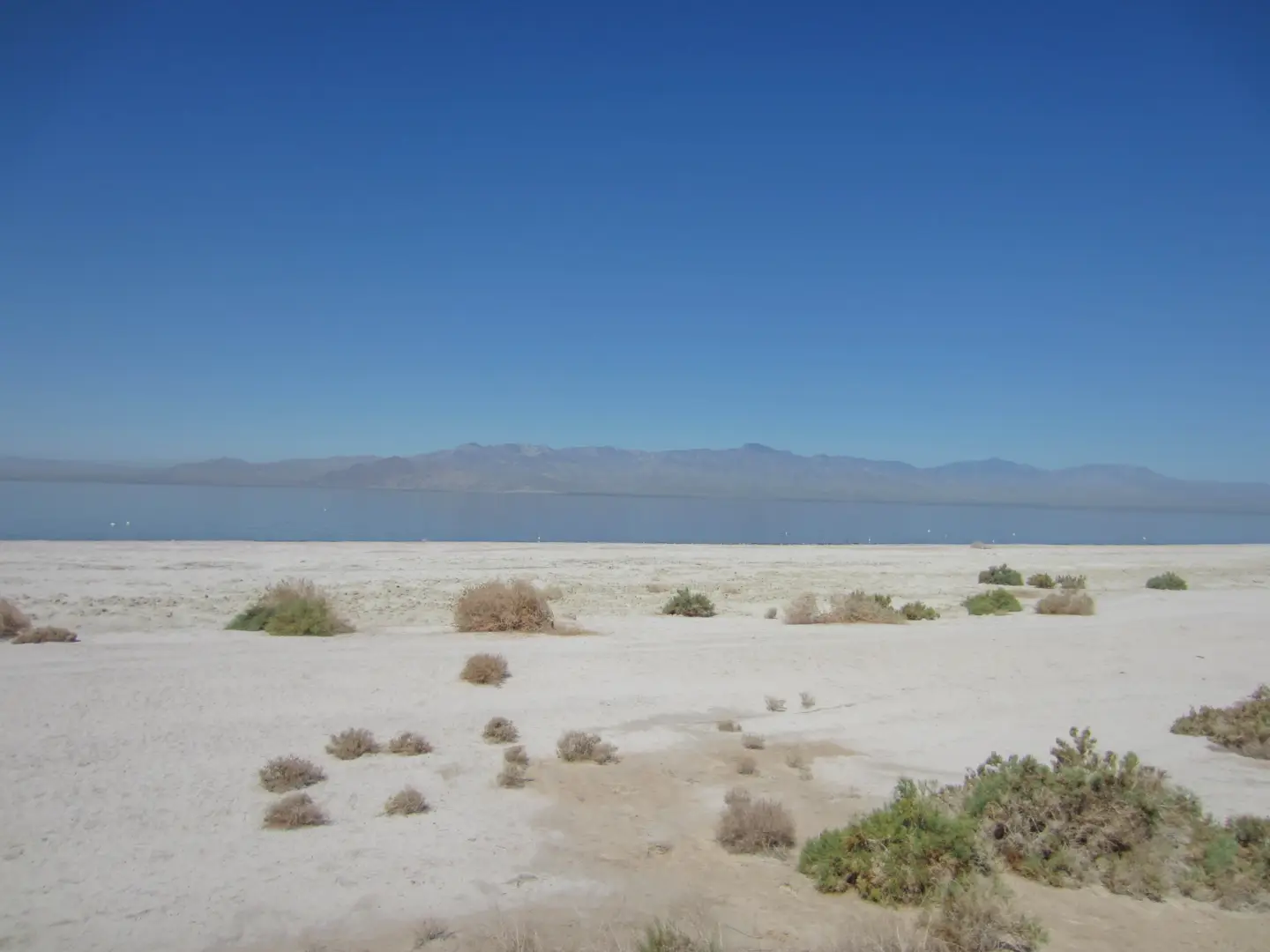
Millions of shells line the beach. These are from previous lake in the basins history.
This prosperity didn't last. Because the sea has no outflow it is highly vulnerable to any changes to the water that flows into it. The majority of the inflow comes from farming runoff. When the amount of runoff changes so does the water level in the sea. Flooding affected the resort towns and destroyed the newly built yacht club. Another issue was caused by the ever increasing salinity of the water which eventually led to an algal bloom which killed millions of fish and put off a terrible odour. The resorts closed and the subdivisions lay empty.
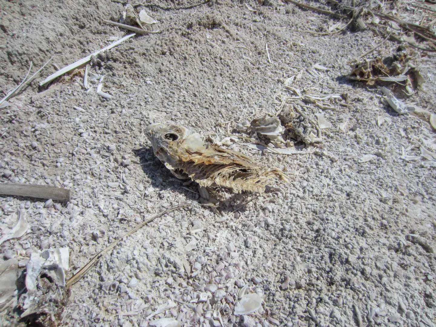
Dead fish line the shore
Today the sea performs a vital role in California's ecology as it is one of the only wetlands left in the state. Millions of birds live on and around the sea and in the surrounding areas. The sea continues to decline however with reduced runoff and years of drought slowly lowering the water level. There is a cycle of algal blooms which cause the fish populations to swing up and down. Thousands of dead fish can often be found at the water line in various stages of decomposition. Botulism is often present in the dead fish which are then eaten by birds which in turns leads to thousands dying off. This cycle is set to continue unless a guaranteed source of water can be found. This seems more unlikely than ever as drought continues to restrict water supplies in California.
I decided to visit the sea shore and from the edge of the beach it looked inviting, especially in the 45 degree heat. However as I got closer I noticed the scattered fish carcasses and the stagnant algal pools. Beside the water smelled particularly bad and I abandoned any idea of going for a swim.
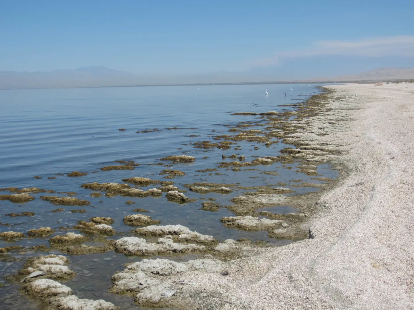
The water's edge